
Mountfield topographic map
Click on the map to display elevation.
About this map
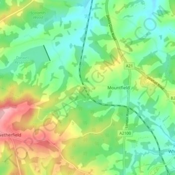
Name: Mountfield topographic map, elevation, terrain.
Location: Mountfield, Rother, East Sussex, England, United Kingdom (50.93694 0.42617 50.97516 0.50222)
Average elevation: 63 m
Minimum elevation: 9 m
Maximum elevation: 165 m
Other topographic maps
Click on a map to view its topography, its elevation and its terrain.
John's Cross
United Kingdom > England > East Sussex > Rother > Mountfield > John's Cross
Average elevation: 53 m