
Derwent topographic map
Interactive map
Click on the map to display elevation.
About this map
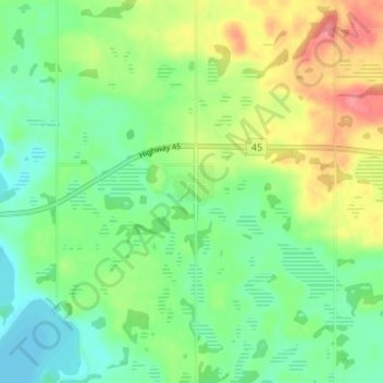
Name: Derwent topographic map, elevation, terrain.
Location: Derwent, County of Two Hills, Alberta, Canada (53.63437 -110.98575 53.67437 -110.94575)
Average elevation: 620 m
Minimum elevation: 592 m
Maximum elevation: 666 m