Geolocate

River topographic map

Click on the map to display elevation.

About this map

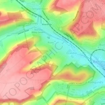
Name: River topographic map, elevation, terrain.

Location: River, Dover, Kent, England, United Kingdom (51.13301 1.25211 51.14895 1.28951)

Average elevation: 80 m

Minimum elevation: 15 m

Maximum elevation: 136 m

Gear up for your next adventure:

🧊Insulated Water Bottle - Keeps drinks cold in summer and prevents freezing in winter
🪑Ultralight Camping Stool - Compact seating for rest stops during long hikes
🪑Insulated Seat Pad - Protect your seat from cold rocks and wet logs
🧥Ultralight Puffy Jacket - Maximum warmth that packs down to the size of an orange
🎒Hiking Backpack - Lightweight and ergonomic backpacks for day hikes or multi-day treks

As an Amazon Associate, this site earns from qualifying purchases at no extra cost to you.