
Red Screes topographic map
Click on the map to display elevation.
About this map
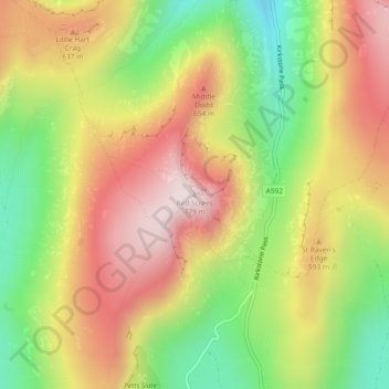
Name: Red Screes topographic map, elevation, terrain.
Average elevation: 513 m
Minimum elevation: 240 m
Maximum elevation: 774 m
Other topographic maps
Click on a map to view its topography, its elevation and its terrain.
Brown Cove Tarn
United Kingdom > England > Westmorland and Furness > Patterdale
Average elevation: 699 m
Brothers Water
United Kingdom > England > Westmorland and Furness > Patterdale > Hartsop
Average elevation: 298 m