Geolocate

River Rea topographic map

Click on the map to display elevation.

About this map

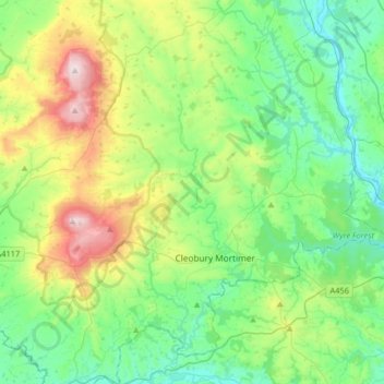
Name: River Rea topographic map, elevation, terrain.

Location: River Rea, Neen Savage, Shropshire, England, United Kingdom (52.31398 -2.60948 52.51126 -2.45818)

Average elevation: 164 m

Minimum elevation: 23 m

Maximum elevation: 532 m

Gear up for your next adventure:

🥾Mountain Hiking Boots - High-traction boots for rocky terrain
🚲MTB Frame Bag - Carry tools and maps directly on your bicycle frame
🥾Lightweight Hiking Boots - Boots for comfort and mobility on long hikes
🔥Camping Stove - Portable stoves to cook outdoors with ease
🕶️Polarized Sunglasses - Reduces glare from snow and water at high elevations

As an Amazon Associate, this site earns from qualifying purchases at no extra cost to you.