
Burren Junction topographic map
Click on the map to display elevation.
About this map
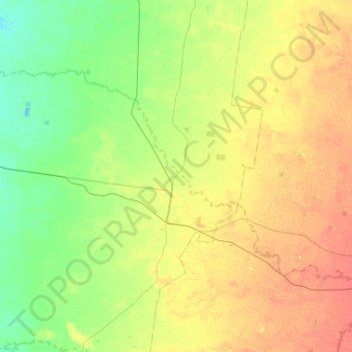
Name: Burren Junction topographic map, elevation, terrain.
Average elevation: 162 m
Minimum elevation: 147 m
Maximum elevation: 182 m
Other topographic maps
Click on a map to view its topography, its elevation and its terrain.
Lighting Ridge Hot Artesian Baths
Australia > New South Wales > Walgett Shire Council > Lightning Ridge
Average elevation: 149 m
Lighting Ridge Hot Artesian Baths
Australia > New South Wales > Walgett Shire Council > Lightning Ridge
Average elevation: 149 m