Geolocate

Lighting Ridge Hot Artesian Baths topographic map

Click on the map to display elevation.

About this map

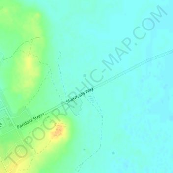
Name: Lighting Ridge Hot Artesian Baths topographic map, elevation, terrain.

Location: Lighting Ridge Hot Artesian Baths, Lightning Ridge, Walgett Shire Council, New South Wales, 2834, Australia (-29.42276 147.99773 -29.42263 147.99788)

Average elevation: 149 m

Minimum elevation: 141 m

Maximum elevation: 168 m

Gear up for your next adventure:

🧣Merino Neck Gaiter - Protects against wind, sun, and cold at high altitudes
🦌Outdoor Trail Camera - Monitor wildlife activity near your favorite spots
📷Outdoor Action Camera - Capture high-elevation views and rugged adventures
🔥Camping Stove - Portable stoves to cook outdoors with ease
Camping Tent - Weather-resistant tents suitable for 2 to 6 people

As an Amazon Associate, this site earns from qualifying purchases at no extra cost to you.