Geolocate

Cold Springs topographic map

Click on the map to display elevation.

About this map

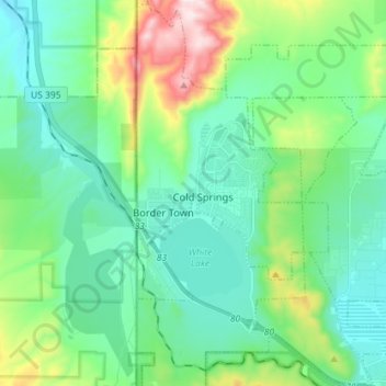
Name: Cold Springs topographic map, elevation, terrain.

Location: Cold Springs, Washoe County, Nevada, United States (39.62635 -120.00136 39.73601 -119.91540)

Average elevation: 1,634 m

Minimum elevation: 1,492 m

Maximum elevation: 2,095 m

Gear up for your next adventure:

💧Hydration Bladder - Hands-free hydration solution for long treks
💧Reusable Water Bottle - Durable water bottles for hydration on trails
🧼Travel Hand Sanitizer - Keep hands clean when water is scarce
🧊Insulated Water Bottle - Keeps drinks cold in summer and prevents freezing in winter
🥾Waterproof Hiking Boots - Boots keeping your feet dry in wet conditions

As an Amazon Associate, this site earns from qualifying purchases at no extra cost to you.