Geolocate

Airdrie topographic map

Click on the map to display elevation.

About this map

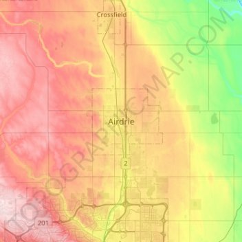
Name: Airdrie topographic map, elevation, terrain.

Location: Airdrie, Alberta, T4B 3C3, Canada (51.12597 -114.17062 51.44597 -113.85062)

Average elevation: 1,112 m

Minimum elevation: 932 m

Maximum elevation: 1,304 m

Alberta trails, hiking, mountain biking, running and outdoor activities

Gear up for your next adventure:

🕶️Polarized Sunglasses - Reduces glare from snow and water at high elevations
🥾Waterproof Hiking Shoes - Durable shoes for wet and rugged trails
🔋Emergency Crank Radio - Weather alerts and power without needing batteries
💧Reusable Water Bottle - Durable water bottles for hydration on trails
🧢Hiking Sun Hat - Wide-brimmed protection for exposed mountain ridges

As an Amazon Associate, this site earns from qualifying purchases at no extra cost to you.