
Ruinerwold topographic map
Interactive map
Click on the map to display elevation.
About this map
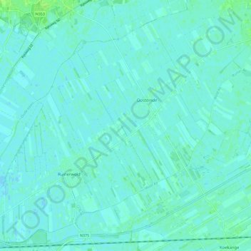
Name: Ruinerwold topographic map, elevation, terrain.
Location: Ruinerwold, De Wolden, Drente, Niederlande (52.70292 6.21632 52.76691 6.32897)
Average elevation: 3 m
Minimum elevation: -1 m
Maximum elevation: 11 m
Other topographic maps
Click on a map to view its topography, its elevation and its terrain.
Drogteropslagen
Niederlande > Drente > De Wolden
Drogteropslagen, De Wolden, Drente, Niederlande
Average elevation: 8 m