
Drogteropslagen topographic map
Interactive map
Click on the map to display elevation.
About this map
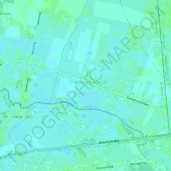
Name: Drogteropslagen topographic map, elevation, terrain.
Location: Drogteropslagen, De Wolden, Drente, Niederlande (52.61365 6.47666 52.62983 6.51860)
Average elevation: 8 m
Minimum elevation: 5 m
Maximum elevation: 12 m
Other topographic maps
Click on a map to view its topography, its elevation and its terrain.
Ruinerwold
Niederlande > Drente > De Wolden
Ruinerwold, De Wolden, Drente, Niederlande
Average elevation: 3 m