Geolocate

St. Levan topographic map

Click on the map to display elevation.

About this map

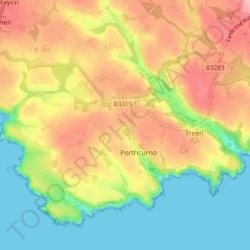
Name: St. Levan topographic map, elevation, terrain.

Location: St. Levan, Porthcurno, Cornwall, England, United Kingdom (50.03448 -5.69584 50.07059 -5.62763)

Average elevation: 57 m

Minimum elevation: 0 m

Maximum elevation: 118 m

Gear up for your next adventure:

Bushcraft Tarp - Versatile emergency shelter or gear protection
🥾Mountaineering Boots - Supportive boots for climbing and high-altitude hiking
🧦Thermal Socks - Warm socks for winter hiking or camping
🧰Survival Kit - Essential gear for emergencies in the wilderness
🧥Insulated Jacket - Keep warm in cold outdoor conditions

As an Amazon Associate, this site earns from qualifying purchases at no extra cost to you.