Geolocate

Kananaskis topographic map

Click on the map to display elevation.

Gear up for your next adventure:

As an Amazon Associate, this site earns from qualifying purchases at no extra cost to you.

Gear up for your next adventure:

As an Amazon Associate, this site earns from qualifying purchases at no extra cost to you.

👉 Easily get elevation data in JSON, GeoTIFF and KML formats using Elevation API
Thank you for supporting this site ❤️
Make a donation

About this map

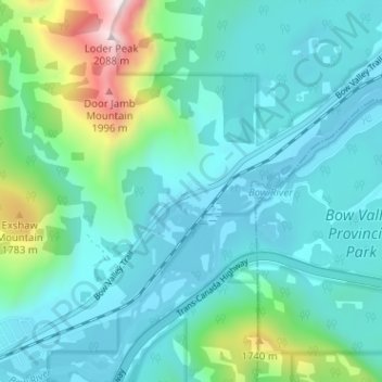
Name: Kananaskis topographic map, elevation, terrain.

Location: Kananaskis, Municipal District of Bighorn, Alberta, T0L 2C0, Canada (51.05665 -115.14854 51.09665 -115.10854)

Average elevation: 1,426 m

Minimum elevation: 1,279 m

Maximum elevation: 2,084 m

Municipal District of Bighorn trails, hiking, mountain biking, running and outdoor activities

Gear up for your next adventure:

As an Amazon Associate, this site earns from qualifying purchases at no extra cost to you.

👉 Easily get elevation data in JSON, GeoTIFF and KML formats using Elevation API
Thank you for supporting this site ❤️
Make a donation