
Coutts topographic map
Interactive map
Click on the map to display elevation.
About this map
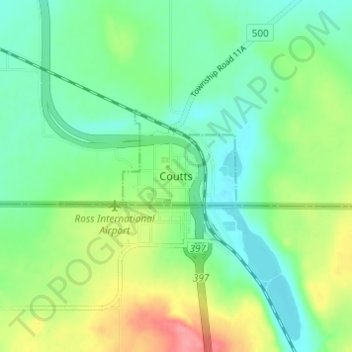
Name: Coutts topographic map, elevation, terrain.
Location: Coutts, Village of Coutts, Alberta, Canada (48.98173 -111.98389 49.02173 -111.94389)
Average elevation: 1,076 m
Minimum elevation: 1,047 m
Maximum elevation: 1,134 m