
Ban Bu topographic map
Interactive map
Click on the map to display elevation.
About this map
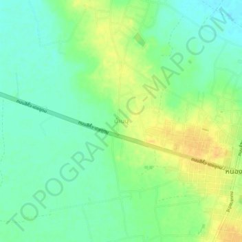
Name: Ban Bu topographic map, elevation, terrain.
Location: Ban Bu, San Chao Pho Khun Si, Buri Ram Province, Thailand (14.67267 102.49966 14.71267 102.53966)
Average elevation: 206 m
Minimum elevation: 193 m
Maximum elevation: 221 m
Other topographic maps
Click on a map to view its topography, its elevation and its terrain.