
Port Felix topographic map
Interactive map
Click on the map to display elevation.
About this map
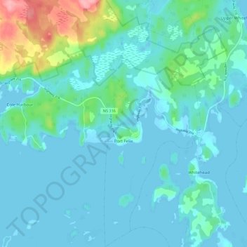
Name: Port Felix topographic map, elevation, terrain.
Average elevation: 17 m
Minimum elevation: -2 m
Maximum elevation: 117 m
Guysborough District Municipality trails, hiking, mountain biking, running and outdoor activities
Other topographic maps
Click on a map to view its topography, its elevation and its terrain.
Larry's River
Canada > Nova Scotia > Guysborough District Municipality > Larrys River
Average elevation: 5 m
Shingle Lake
Canada > Nova Scotia > Guysborough District Municipality > Forest Hill
Average elevation: 124 m
Clam Harbour Beach
Canada > Nova Scotia > Guysborough District Municipality > Manchester
Average elevation: 15 m