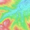
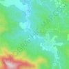
Corsavy topographic map
Click on the map to display elevation.
Corsavy
Corsavy (French pronunciation: [kɔʁsavi] ; Catalan: Cortsaví) is a commune in the Pyrénées-Orientales department in southern France. It is part of the historical Vallespir comarca. It is renowned for its picturesque mountain landscapes and proximity to Mount Canigó. The village lies at an elevation of approximately 800 meters, with the commune’s altitude ranging from 345 to 2,721 meters.
About this map
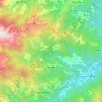
Name: Corsavy topographic map, elevation, terrain.
Average elevation: 953 m
Minimum elevation: 237 m
Maximum elevation: 2,458 m
Other topographic maps
Click on a map to view its topography, its elevation and its terrain.
Les Escaldes
France > Occitania > Pyrénées-Orientales > Angoustrine-Villeneuve-des-Escaldes
Average elevation: 1,491 m

Talau
France > Occitania > Pyrénées-Orientales > Ayguatébia-Talau > Ayguatébia
Average elevation: 1,389 m

Pic de Finestrelles
France > Occitania > Pyrénées-Orientales > Eyne
Pic de Finestrelles is a mountain located in the Oriental Pyrenees, on the border of France and Spain. It has an altitude of 2,826 metres (9,272 ft) above sea level.
Average elevation: 2,502 m
Pic de Finestrelles
France > Occitania > Pyrénées-Orientales > Eyne
Pic de Finestrelles is a mountain located in the Oriental Pyrenees, on the border of France and Spain. It has an altitude of 2,826 metres (9,272 ft) above sea level.
Average elevation: 2,502 m
La Ville
France > Occitania > Pyrénées-Orientales > Saint-Laurent-de-la-Salanque
Average elevation: 4 m