
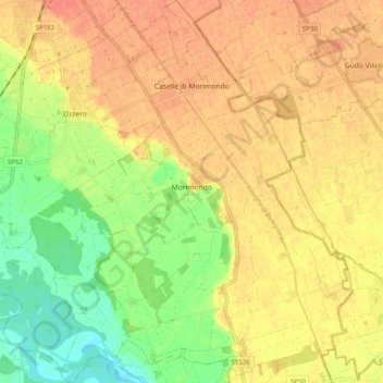
Morimondo topographic map
Click on the map to display elevation.
About this map
Name: Morimondo topographic map, elevation, terrain.
Location: Morimondo, Milan, Lombardy, Italy (45.31668 8.91280 45.38651 8.99655)
Average elevation: 102 m
Minimum elevation: 75 m
Maximum elevation: 120 m
Other topographic maps
Click on a map to view its topography, its elevation and its terrain.