Geolocate

Bishopton topographic map

Click on the map to display elevation.

About this map

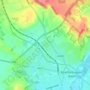
Name: Bishopton topographic map, elevation, terrain.

Location: Bishopton, Stratford-upon-Avon, Stratford-on-Avon, Warwickshire, England, CV37 0TX, United Kingdom (52.18579 -1.74584 52.22579 -1.70584)

Average elevation: 64 m

Minimum elevation: 35 m

Maximum elevation: 126 m

Other topographic maps

Click on a map to view its topography, its elevation and its terrain.

Gear up for your next adventure:

🧥Fleece Jacket - Warm and lightweight jacket for layering
Camping Groundsheet - Protect your tent from moisture and dirt
🥾Mountain Trail Shoes - High-traction shoes for mountain trails
🧢Beanie Hat - Keep your head warm in cold weather
🥾Trekking Boots - Durable boots for long-distance trekking

As an Amazon Associate, this site earns from qualifying purchases at no extra cost to you.