Geolocate

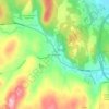
Wardsboro topographic map

Click on the map to display elevation.

About this map
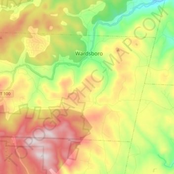
Name: Wardsboro topographic map, elevation, terrain.

Location: Wardsboro, Windham County, Vermont, 05355, United States (42.98665 -72.87945 43.05364 -72.73392)

Average elevation: 500 m

Minimum elevation: 166 m

Maximum elevation: 888 m

Other topographic maps

Click on a map to view its topography, its elevation and its terrain.
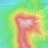
West Dover

United States > Vermont > Windham County > Dover

Average elevation: 583 m

Mount Snow

United States > Vermont > Windham County

Average elevation: 864 m

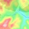
Williamsville

United States > Vermont > Windham County > Newfane

Average elevation: 270 m

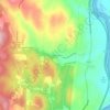
East Dover

United States > Vermont > Windham County > Dover

Average elevation: 425 m

Williamsville

United States > Vermont > Windham County > Newfane

Average elevation: 270 m

Kenny Pond Dam

United States > Vermont > Windham County > Newfane

Average elevation: 413 m

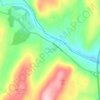
South Newfane

United States > Vermont > Windham County > Newfane

Average elevation: 321 m

West Guilford

United States > Vermont > Windham County > Guilford

Average elevation: 344 m

Mount Snow

United States > Vermont > Windham County

Average elevation: 865 m

East Dover

United States > Vermont > Windham County > Dover

Average elevation: 425 m

Packer Corner

United States > Vermont > Windham County > Guilford

Average elevation: 305 m

Gear up for your next adventure:

🥾Hiking Shorts - Breathable shorts suitable for summer hikes
👟Trail Running Shoes - Agile footwear for fast-paced topographic exploration
💧Hydration Bladder - Hands-free hydration solution for long treks
🧣Evaporative Cooling Towel - Beat the heat during intense summer climbs
🧭Orienteering Kit - Tools for map reading and navigation in the wild

As an Amazon Associate, this site earns from qualifying purchases at no extra cost to you.