Geolocate

Peaster topographic map

Click on the map to display elevation.

About this map

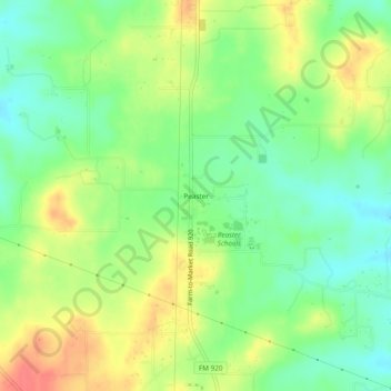
Name: Peaster topographic map, elevation, terrain.

Location: Peaster, Parker County, Texas, 76485, United States (32.85207 -97.88670 32.89207 -97.84670)

Average elevation: 367 m

Minimum elevation: 341 m

Maximum elevation: 401 m

Other topographic maps

Click on a map to view its topography, its elevation and its terrain.

Weatherford

United States > Texas > Parker County

Average elevation: 326 m

Reno

United States > Texas > Parker County

Average elevation: 233 m

Snake Forest

United States > Texas > Parker County

Average elevation: 312 m

Aledo

United States > Texas > Parker County

Average elevation: 271 m

Springtown

United States > Texas > Parker County

Average elevation: 273 m

Millsap

United States > Texas > Parker County

Average elevation: 257 m

Aledo

United States > Texas > Parker County

Average elevation: 271 m

Weatherford

United States > Texas > Parker County

Average elevation: 326 m

Gear up for your next adventure:

Tent Footprint - Protect tent floor and increase durability
🩹Compact First Aid Kit - Pre-packed essentials for common trail injuries
🥾Trail Hiking Shoes - Durable shoes designed for rugged trails
💧Hydration Pack - Hands-free hydration system for long hikes
Lightweight Backpacking Tent - Compact tent for efficient hiking trips

As an Amazon Associate, this site earns from qualifying purchases at no extra cost to you.