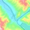
Oakley topographic map
Click on the map to display elevation.
Oakley
Oakley is located 45 miles (72 km) east of Salt Lake City on SR-32, in the Kamas Valley. With an elevation of 6,500 feet (2,000 m), it is a gateway to the Uinta Mountains. Scenic route Weber Canyon Road follows the Weber River to its headwaters; it also follows the Smith and Morehouse Creek to its reservoir in its own scenic canyon 15 miles (24 km) from Oakley. The towns of Marion, Kamas, and Peoa are its neighbors, and the Weber River flows nearby.
About this map
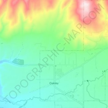
Name: Oakley topographic map, elevation, terrain.
Location: Oakley, Summit County, Utah, 84055, United States (40.70209 -111.31011 40.75652 -111.24288)
Average elevation: 2,047 m
Minimum elevation: 1,901 m
Maximum elevation: 2,390 m
Other topographic maps
Click on a map to view its topography, its elevation and its terrain.