Geolocate

Marsh Crossing topographic map

Click on the map to display elevation.

About this map

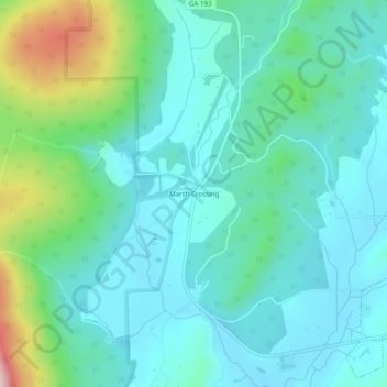
Name: Marsh Crossing topographic map, elevation, terrain.

Location: Marsh Crossing, Walker County, Georgia, United States (34.69730 -85.34829 34.73730 -85.30829)

Average elevation: 312 m

Minimum elevation: 233 m

Maximum elevation: 610 m

Other topographic maps

Click on a map to view its topography, its elevation and its terrain.

Lookout Mountain

United States > Georgia > Walker County

Average elevation: 406 m

Rock Spring

United States > Georgia > Walker County

Average elevation: 263 m

Fairview

United States > Georgia > Walker County

Average elevation: 263 m

Missionary Ridge

United States > Georgia > Walker County

Average elevation: 337 m

Gear up for your next adventure:

🧤Insulated Winter Gloves - Heavy-duty protection for sub-zero Canadian adventures
🧴Outdoor Sunscreen - High SPF protection for high-altitude UV exposure
🔋Emergency Crank Radio - Weather alerts and power without needing batteries
💡LED Camping Lantern - Illuminate your campsite with long-lasting lanterns
🔦LED Headtorch - Bright and durable light for night activities

As an Amazon Associate, this site earns from qualifying purchases at no extra cost to you.