Geolocate

Mooreland topographic map

Click on the map to display elevation.

About this map

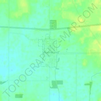
Name: Mooreland topographic map, elevation, terrain.

Location: Mooreland, Henry County, Indiana, 47360, United States (39.99333 -85.25506 40.00219 -85.24757)

Average elevation: 344 m

Minimum elevation: 336 m

Maximum elevation: 356 m

Other topographic maps

Click on a map to view its topography, its elevation and its terrain.

Messick

United States > Indiana > Henry County

Average elevation: 334 m

Westwood

United States > Indiana > Henry County

Average elevation: 319 m

Gear up for your next adventure:

👟Leg Gaiters - Keep debris, mud, and snow out of your boots
🥾Approach Shoes - Shoes designed for climbing approaches and rugged trails
🥾Light Hiking Boots - Lightweight and comfortable boots for day hikes
👖Convertible Hiking Pants - Zip-off legs to adapt to changing weather conditions
🥾Hiking Gaiters - Protect legs and shoes from mud, snow, and debris

As an Amazon Associate, this site earns from qualifying purchases at no extra cost to you.