
West Hemlock Township topographic map
Interactive map
Click on the map to display elevation.
About this map
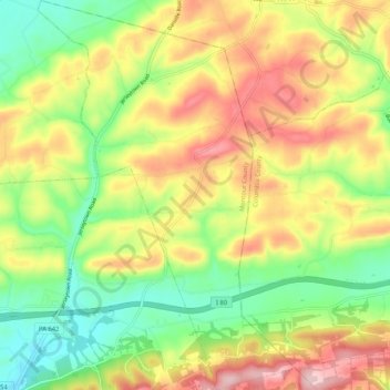
Name: West Hemlock Township topographic map, elevation, terrain.
Average elevation: 258 m
Minimum elevation: 147 m
Maximum elevation: 391 m
Other topographic maps
Click on a map to view its topography, its elevation and its terrain.
Derry Township
United States > Pennsylvania > Montour County
Derry Township, Montour County, Pennsylvania, United States
Average elevation: 190 m