Geolocate

Derry Township topographic map

Click on the map to display elevation.

About this map

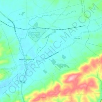
Name: Derry Township topographic map, elevation, terrain.

Location: Derry Township, Montour County, Pennsylvania, United States (41.02352 -76.69937 41.09167 -76.60379)

Average elevation: 190 m

Minimum elevation: 150 m

Maximum elevation: 330 m

Gear up for your next adventure:

🦟Insect Repellent - Keep mosquitoes and black flies away in wooded areas
🧶550 Survival Paracord - Versatile utility cord for emergency repairs and rigging
🧢Sun Protection Cap - Breathable cap to protect from sun exposure
🚲Bike Repair Kit - Essential tools for on-trail mechanical issues
🧰Emergency Multi-Tool - Compact multi-tool for outdoor survival

As an Amazon Associate, this site earns from qualifying purchases at no extra cost to you.