Geolocate

San Alejandro topographic map

Click on the map to display elevation.

About this map

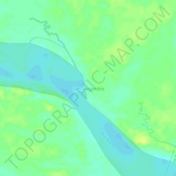
Name: San Alejandro topographic map, elevation, terrain.

Location: San Alejandro, Mazán, Province of Maynas, Loreto, Peru (-3.35684 -72.75138 -3.31684 -72.71138)

Average elevation: 85 m

Minimum elevation: 77 m

Maximum elevation: 94 m

Gear up for your next adventure:

🧢Beanie Hat - Keep your head warm in cold weather
🧳Compression Sacks - Maximize space in your backpack by shrinking gear
🥾Light Hiking Boots - Lightweight and comfortable boots for day hikes
🧥Softshell Jacket - Windproof and breathable jacket for hiking
🧰Survival Kit - Essential gear for emergencies in the wilderness

As an Amazon Associate, this site earns from qualifying purchases at no extra cost to you.