Geolocate

Azara topographic map

Click on the map to display elevation.

About this map

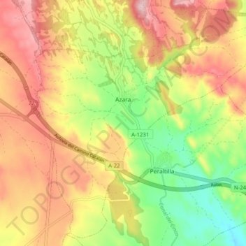
Name: Azara topographic map, elevation, terrain.

Location: Azara, Somontano de Barbastro, Huesca, Aragon, Spain (42.03666 -0.05884 42.09056 0.01884)

Average elevation: 476 m

Minimum elevation: 368 m

Maximum elevation: 575 m

Gear up for your next adventure:

🥾Trekking Poles - Adjustable trekking poles to reduce knee stress and improve stability
🥤Collapsible Travel Cup - Saves space and weight in your mess kit
🎒Hiking Backpack - Lightweight and ergonomic backpacks for day hikes or multi-day treks
Camping Coffee Maker - Brew fresh coffee anywhere on the topographic map
🥾Waterproof Hiking Shoes - Durable shoes for wet and rugged trails

As an Amazon Associate, this site earns from qualifying purchases at no extra cost to you.