Geolocate

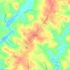
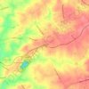
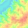
Pelzer topographic map

Click on the map to display elevation.

About this map
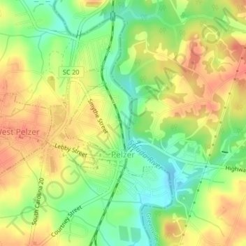
Name: Pelzer topographic map, elevation, terrain.

Location: Pelzer, Anderson County, South Carolina, United States (34.63991 -82.46634 34.65174 -82.45140)

Average elevation: 239 m

Minimum elevation: 212 m

Maximum elevation: 261 m

Other topographic maps

Click on a map to view its topography, its elevation and its terrain.
Starr

United States > South Carolina > Anderson County

Average elevation: 227 m

Gear up for your next adventure:

💧Hydration Bladder - Hands-free hydration solution for long treks
🧥Waterproof Pants - Keep dry during rainy hiking conditions
🧤Rechargeable Heated Gloves - Extreme warmth for Canadian winter expeditions
🔪Outdoor Multitool - Versatile tool for repairs and food prep in the wild
🔦LED Flashlight - Powerful and long-lasting flashlight for camping and emergencies

As an Amazon Associate, this site earns from qualifying purchases at no extra cost to you.