
Stetind topographic map
Click on the map to display elevation.
About this map
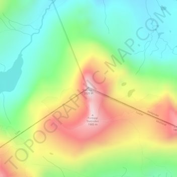
Name: Stetind topographic map, elevation, terrain.
Location: Stetind, Luster, Vestland, Norway (61.54759 8.19541 61.54769 8.19551)
Average elevation: 1,565 m
Minimum elevation: 1,297 m
Maximum elevation: 1,975 m
Other topographic maps
Click on a map to view its topography, its elevation and its terrain.