
Kaohsiung topographic map
Interactive map
Click on the map to display elevation.
About this map
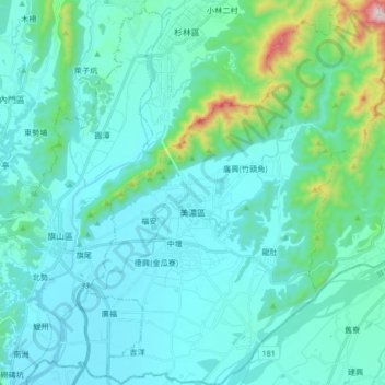
Name: Kaohsiung topographic map, elevation, terrain.
Location: Kaohsiung, Meinong District, 843, Taiwan (22.82829 120.49530 22.98333 120.62828)
Average elevation: 131 m
Minimum elevation: 30 m
Maximum elevation: 803 m
Other topographic maps
Click on a map to view its topography, its elevation and its terrain.