
Nose Creek topographic map
Interactive map
Click on the map to display elevation.
About this map
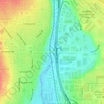
Name: Nose Creek topographic map, elevation, terrain.
Location: Nose Creek, Calgary, Alberta, T2K 6H9, Canada (51.11015 -114.04892 51.11097 -114.04880)
Average elevation: 1,069 m
Minimum elevation: 1,046 m
Maximum elevation: 1,100 m
Alberta trails, hiking, mountain biking, running and outdoor activities
Other topographic maps
Click on a map to view its topography, its elevation and its terrain.