
Voyageur Provincial Park topographic map
Interactive map
Click on the map to display elevation.
About this map
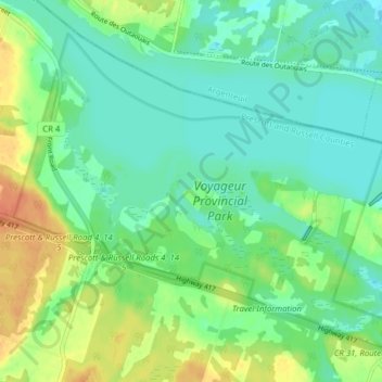
Name: Voyageur Provincial Park topographic map, elevation, terrain.
Average elevation: 46 m
Minimum elevation: 33 m
Maximum elevation: 71 m
Prescott and Russell Counties trails, hiking, mountain biking, running and outdoor activities
Other topographic maps
Click on a map to view its topography, its elevation and its terrain.
Chute-à-Blondeau
Canada > Ontario > Prescott and Russell Counties > East Hawkesbury
Average elevation: 56 m