
Cabot's Landing Provincial Park topographic map
Interactive map
Click on the map to display elevation.
About this map
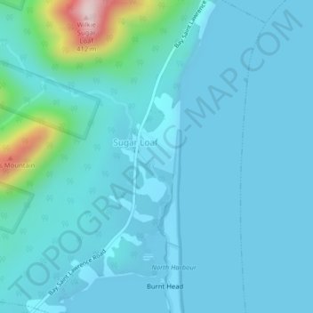
Name: Cabot's Landing Provincial Park topographic map, elevation, terrain.
Average elevation: 42 m
Minimum elevation: -1 m
Maximum elevation: 389 m
Other topographic maps
Click on a map to view its topography, its elevation and its terrain.
Deadmans Pond
Canada > Nova Scotia > St. Margaret Village
Deadmans Pond, St. Margaret Village, Municipality of Victoria County, Victoria County, Nova Scotia, Canada
Average elevation: 42 m