
Lake Tabeaud topographic map
Click on the map to display elevation.
About this map
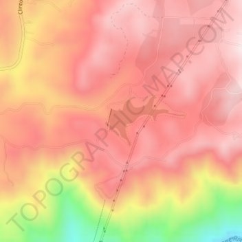
Name: Lake Tabeaud topographic map, elevation, terrain.
Location: Lake Tabeaud, Amador County, California, United States (38.34508 -120.66668 38.35053 -120.65800)
Average elevation: 570 m
Minimum elevation: 222 m
Maximum elevation: 722 m
Other topographic maps
Click on a map to view its topography, its elevation and its terrain.