
Titus Smith Park topographic map
Interactive map
Click on the map to display elevation.
About this map
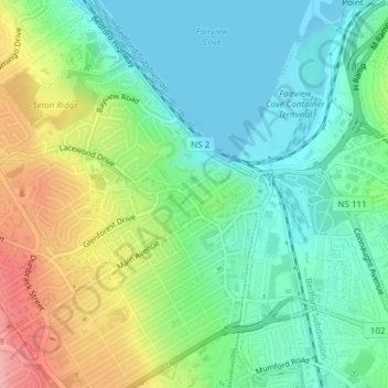
Name: Titus Smith Park topographic map, elevation, terrain.
Average elevation: 42 m
Minimum elevation: 0 m
Maximum elevation: 124 m
Nova Scotia trails, hiking, mountain biking, running and outdoor activities
Other topographic maps
Click on a map to view its topography, its elevation and its terrain.
North End
Canada > Nova Scotia > Halifax
At 60 m in elevation, Citadel Hill is the highest point on the peninsula and when combined with the expansive undeveloped parkland of the North Common, creates a physical boundary that separates the various neighbourhoods. Fort Needham is another glacial drumlin located in the heart of the North End.
Average elevation: 35 m