
Kingsnorth topographic map
Click on the map to display elevation.
About this map
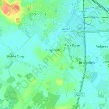
Name: Kingsnorth topographic map, elevation, terrain.
Location: Kingsnorth, Ashford, Kent, England, United Kingdom (51.09946 0.82839 51.13387 0.89805)
Average elevation: 43 m
Minimum elevation: 34 m
Maximum elevation: 72 m