Geolocate

Flempton topographic map

Click on the map to display elevation.

About this map

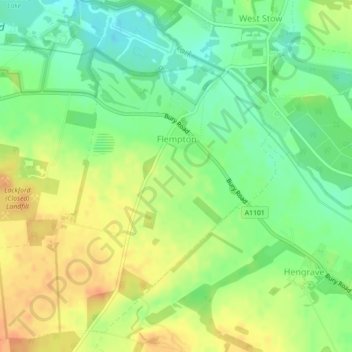
Name: Flempton topographic map, elevation, terrain.

Location: Flempton, West Suffolk, Suffolk, England, United Kingdom (52.28075 0.62673 52.30597 0.66917)

Average elevation: 28 m

Minimum elevation: 9 m

Maximum elevation: 48 m

Gear up for your next adventure:

🧥Packable Rain Jacket - Breathable waterproof layer for unpredictable weather
🥾Hiking Shoes - Durable and comfortable shoes for trail hiking
🥾Trail Hiking Shoes - Durable shoes designed for rugged trails
🧼Biodegradable Camp Soap - Environmentally friendly cleaning for gear and body
🦯Trekking Poles - Reduced impact on joints for steep topographic climbs

As an Amazon Associate, this site earns from qualifying purchases at no extra cost to you.