Geolocate

Moran topographic map

Click on the map to display elevation.

About this map

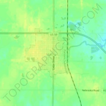
Name: Moran topographic map, elevation, terrain.

Location: Moran, Allen County, Kansas, United States (37.91037 -95.17926 37.92275 -95.16501)

Average elevation: 334 m

Minimum elevation: 323 m

Maximum elevation: 342 m

Other topographic maps

Click on a map to view its topography, its elevation and its terrain.

Bayard

United States > Kansas > Allen County

Average elevation: 321 m

Gear up for your next adventure:

🥾Light Hiking Boots - Lightweight and comfortable boots for day hikes
🔥Emergency Fire Starter - Reliable ignition source for all weather conditions
🧦Outdoor Socks - Durable socks designed for hiking and outdoor sports
🧥Thermal Layer - Insulating layer for cold outdoor conditions
🥾Trail Running Boots - Durable shoes designed for trail running

As an Amazon Associate, this site earns from qualifying purchases at no extra cost to you.