Geolocate

Onibury topographic map

Click on the map to display elevation.

About this map

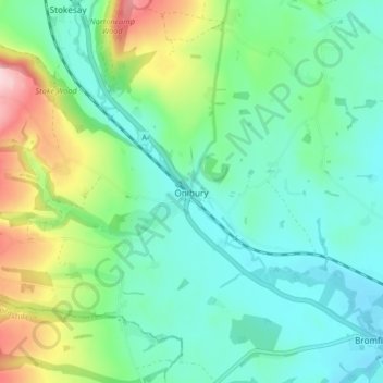
Name: Onibury topographic map, elevation, terrain.

Location: Onibury, Shropshire, West Midlands, England, United Kingdom (52.38795 -2.85600 52.42687 -2.77438)

Average elevation: 149 m

Minimum elevation: 89 m

Maximum elevation: 310 m

Gear up for your next adventure:

Bushcraft Tarp - Versatile emergency shelter or gear protection
🗺️Topographic Maps - Detailed maps to explore trails, mountains, and wilderness areas
🥾Mountain Hiking Boots - High-traction boots for rocky terrain
🍽️Titanium Camping Spork - Ultralight and indestructible eating utensil
🧳Compression Sacks - Maximize space in your backpack by shrinking gear

As an Amazon Associate, this site earns from qualifying purchases at no extra cost to you.