
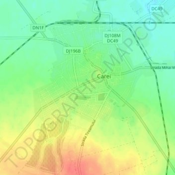
Großkarol topographic map
Interactive map
Click on the map to display elevation.
About this map
Name: Großkarol topographic map, elevation, terrain.
Location: Großkarol, Sathmar, 445100, Rumänien (47.65707 22.43964 47.70274 22.49257)
Average elevation: 136 m
Minimum elevation: 116 m
Maximum elevation: 164 m
Other topographic maps
Click on a map to view its topography, its elevation and its terrain.