
Großkarol topographic map
Interactive map
Click on the map to display elevation.
About this map
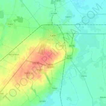
Name: Großkarol topographic map, elevation, terrain.
Location: Großkarol, Sathmar, Rumänien (47.59571 22.38213 47.72402 22.58786)
Average elevation: 128 m
Minimum elevation: 113 m
Maximum elevation: 164 m
Other topographic maps
Click on a map to view its topography, its elevation and its terrain.