
Rockledge topographic map
Click on the map to display elevation.
About this map
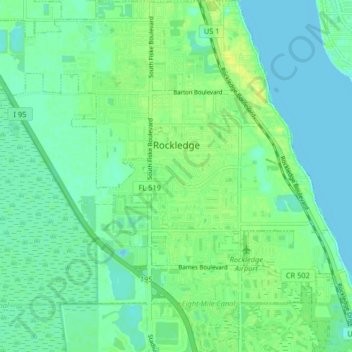
Name: Rockledge topographic map, elevation, terrain.
Location: Rockledge, Brevard County, Florida, 32955, United States (28.27804 -80.77996 28.34946 -80.70068)
Average elevation: 7 m
Minimum elevation: -2 m
Maximum elevation: 17 m
Other topographic maps
Click on a map to view its topography, its elevation and its terrain.
Whispering Hills Golf Estates
United States > Florida > Brevard County > Titusville
Average elevation: 6 m
Cape Canaveral
United States > Florida > Brevard County
The hurricane of August 1885, pushed a "wall of water" over the barrier island (elevation, 3.1 m (10 ft)) devastating Cape Canaveral and adjacent areas. The ocean waves flooded the homesteaders and discouraged further settlement in the area. The beach near the lighthouse was severely eroded prompting its…
Average elevation: 1 m
Georgiana
United States > Florida > Brevard County
Georgiana is a populated place located on Merritt Island in Brevard County, Florida at latitude 28.288673N and longitude 80.671398W. The elevation is 10 feet. It is about five miles south of the 520 Causeway, situated where the island is about a half-mile wide.
Average elevation: 1 m