
Pucacolpa topographic map
Click on the map to display elevation.
About this map
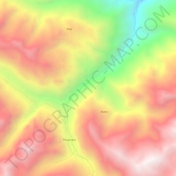
Name: Pucacolpa topographic map, elevation, terrain.
Location: Pucacolpa, Provincia de Huanta, Ayacucho, Perú (-12.36078 -74.44067 -12.30496 -74.41604)
Average elevation: 3,594 m
Minimum elevation: 2,548 m
Maximum elevation: 4,342 m
Other topographic maps
Click on a map to view its topography, its elevation and its terrain.