Geolocate

Azulcocha topographic map

Click on the map to display elevation.

About this map

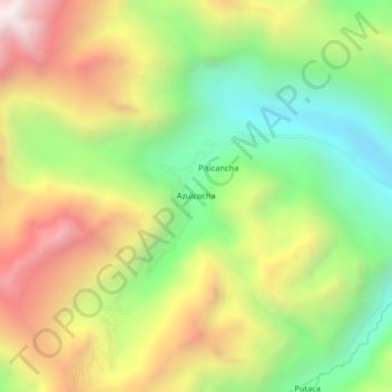
Name: Azulcocha topographic map, elevation, terrain.

Location: Azulcocha, Pucacolpa, Huanta, Ayacucho, Perú (-12.35469 -74.49640 -12.31469 -74.45640)

Average elevation: 4,006 m

Minimum elevation: 3,381 m

Maximum elevation: 4,780 m

Other topographic maps

Click on a map to view its topography, its elevation and its terrain.

Pucacolpa

Perú > Ayacucho > Pucacolpa

Average elevation: 3,594 m

Gear up for your next adventure:

👟Sport Hiking Sandals - Breathable footwear for water crossings and camp rest
🧦Hiking Liner Socks - Thin base layer to prevent friction and blisters
💡Solar Camping Lamp - Eco-friendly lighting for campsites
🔋Solar Power Bank - Keep your GPS and devices charged during long outdoor trips
Camping Essentials - All-in-one gear for a comfortable camping trip

As an Amazon Associate, this site earns from qualifying purchases at no extra cost to you.