
Robbinsville topographic map
Click on the map to display elevation.
About this map
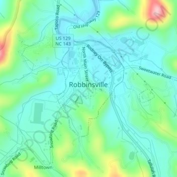
Name: Robbinsville topographic map, elevation, terrain.
Location: Robbinsville, Graham County, North Carolina, United States (35.31476 -83.81298 35.32951 -83.79458)
Average elevation: 640 m
Minimum elevation: 595 m
Maximum elevation: 776 m
Other topographic maps
Click on a map to view its topography, its elevation and its terrain.