
Desford topographic map
Click on the map to display elevation.
About this map
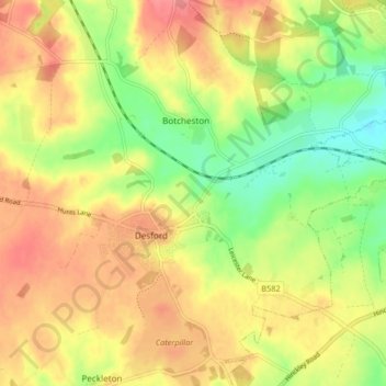
Name: Desford topographic map, elevation, terrain.
Average elevation: 115 m
Minimum elevation: 75 m
Maximum elevation: 149 m
Other topographic maps
Click on a map to view its topography, its elevation and its terrain.
Merry Lees
United Kingdom > England > Leicestershire > Hinckley and Bosworth > Botcheston
Average elevation: 126 m
Burroughs Wood
United Kingdom > England > Leicestershire > Hinckley and Bosworth > Botcheston
Average elevation: 114 m