Geolocate

Varbovo topographic map

Click on the map to display elevation.

About this map

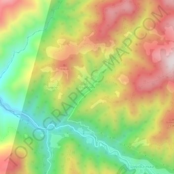
Name: Varbovo topographic map, elevation, terrain.

Location: Varbovo, Smolian, Smolyan, 4710, Bulgaria (41.67768 24.54386 41.71768 24.58386)

Average elevation: 1,287 m

Minimum elevation: 928 m

Maximum elevation: 1,676 m

Other topographic maps

Click on a map to view its topography, its elevation and its terrain.

Chepelare

Bulgaria > Smolyan

Average elevation: 1,354 m

Gear up for your next adventure:

🔦LED Flashlight - Powerful and long-lasting flashlight for camping and emergencies
Camping Tent - Weather-resistant tents suitable for 2 to 6 people
🥾Trail Hiking Socks - Comfortable socks to prevent blisters and fatigue
🥾Waterproof Hiking Shoes - Durable shoes for wet and rugged trails
🔦LED Headlamp - Hands-free lighting for early morning starts or late finishes

As an Amazon Associate, this site earns from qualifying purchases at no extra cost to you.