Geolocate

Pen Y Garn topographic map

Click on the map to display elevation.

About this map

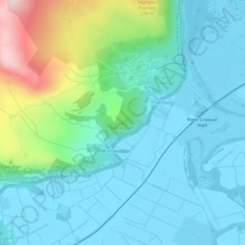
Name: Pen Y Garn topographic map, elevation, terrain.

Location: Pen Y Garn, Prenteg, Gwynedd, Wales, LL49 9TD, United Kingdom (52.94902 -4.11259 52.94912 -4.11249)

Average elevation: 74 m

Minimum elevation: -1 m

Maximum elevation: 346 m

Gear up for your next adventure:

🥾Light Trekking Boots - Supportive boots for multi-day treks
💧Hydration Pack - Hands-free hydration system for long hikes
🥾Lightweight Hiking Boots - Boots for comfort and mobility on long hikes
🧢Sun Hat - Wide-brim hat for sun protection
🧢Beanie Hat - Keep your head warm in cold weather

As an Amazon Associate, this site earns from qualifying purchases at no extra cost to you.