Geolocate

1927 topographic map

Click on the map to display elevation.

About this map

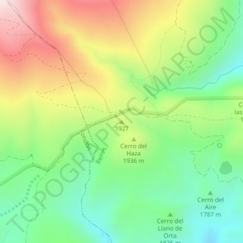
Name: 1927 topographic map, elevation, terrain.

Location: 1927, Beires, Almeria, Andalusia, Spain (37.05586 -2.82830 37.05596 -2.82820)

Average elevation: 1,878 m

Minimum elevation: 1,617 m

Maximum elevation: 2,259 m

Gear up for your next adventure:

🧦Crew Hiking Socks - Comfortable socks for long-distance hikes
🧦Merino Wool Socks - Moisture-wicking comfort for long-distance hiking
🧥Insulated Jacket - Keep warm in cold outdoor conditions
🚲MTB Frame Bag - Carry tools and maps directly on your bicycle frame
🥾Waterproof Trail Shoes - Shoes designed to handle wet terrain

As an Amazon Associate, this site earns from qualifying purchases at no extra cost to you.